Most of these names have appeared on ordnance survey maps since the 1854 edition:
Overlook the Woodside Estate.
Takes its name from Royds Hall which has been in existence since the 1300’s. The wood stretches from Woodside to Judy Brig.
Is on the opposite back of the stream to Royds Hall Great Wood. Its paths are used less frequently than those in the other woods. “Park” suggests a connection to Royds Hall, which was known to have had a park around it in the past, but it is not on the Estate Map of 1784. A “jagger” is a local word for peddler or drover.
Stands a little apart, sheltering Royds Hall from the prevailing winds. There is no public access. Gannerthorpe is a local word and is derived from Old Norse.
Stretches from the bridge towards Delph Hill between High Fernley Road and Royds Hall Lane. There’s a story that the original old Hanna may have been the mother of Anne Wood who married James Hanson of Woodside Farm in 1729. On some Low Moor Company maps it is referred to as Neddy Wood.
Is across High Fernley Road from Old Hanna and follows the beck down as far as Station Road, Wyke. It is the lowest wood so maybe that is how it got its name.
Appears on maps of the Low Moor Company since 1849 as the south eastern corner of Low Wood. In the past it was owned by the Richardsons of Bierley Hall and was never part of the Royds Hall Estate. The stream culverted under the mineral line embankment is the parish boundary as well as the boundary between Doctor and Low Wood. We don’t know why the wood is so named but it could be after Dr Richard Richardson
The largest scale ordnance survey map gives this name to the small wood at the bottom of Royds Hall Lane on the opposite side to Old Hanna Wood. This wood stood at the back of Judy North’s cottage.
We are told that woodland may be considered ancient if its history can be traced back to 1600 or beyond. A 1775 map shows trees to the west of Royds Hall and the 1811 Ordnance Survey Map shows the outline of the woods similar to today. A bill of sale for a 1782 auction for the Royds Hall estate mentions 142 acres of well grown spring wood. If they were ready to cut down in 1782 they must have been growing there for several years already.
Other land was cleared for farming and perhaps the slopes of Royds Hall Beck are woods located in steep valleys The valley sides were often left wooded when such a case. In ancient woods, internal and external boundaries are wiggly rather than straight, following contours or skirting round features which may now have disappeared. Judy Woods is crisscrossed with many ancient track ways linking the settlements in the area and the old “main road” from Bradford to Halifax followed High Fernley Road/Sowden Lane. The fact that the parish boundary between North Bierley and Halifax follows the course of the stream suggests a role in the ancient landscape.
that are now remaining in the woods are around 180 to 200 years old. Surprisingly they are beech trees. They’re growing north of their natural range and were in fact planted there and are probably the first generation on this site. In certain parts of the wood it's obvious that they have been planted in rows, diagonally across the path. They were fashionable trees to plant in the late 18th and early 19th century and their wood could used for bobbins for the textile industry. They may have been planted as an investment for the future – unfortunately whoever planted them had no way of knowing that by the time the trees matured bobbins would be obsolete.
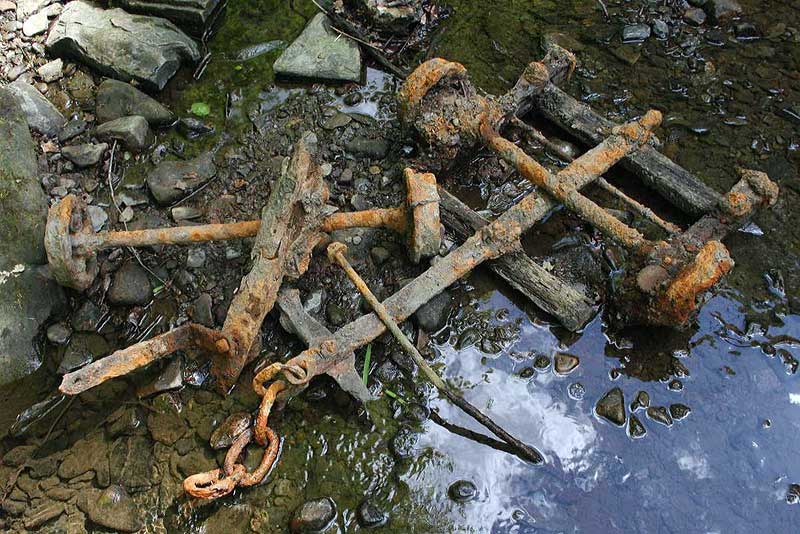
No! Although in the late 19th and early 20th centuries locals walked in the woods and those from further a field would take Sunday strolls to the pleasure gardens at Judy Bridge, Woodside Farm and at the Shelf approaches to the woods, in the 18th and 19th century parts of them were mined for coal and it’s likely some of the trees were chopped down to make access easier.
It is probable that mining has been going on in the woods on a small scale for very many years. Edward Rookes Leeds rented out his "Wood Colliery" in the 1780's for £100 per year. We think we have identified two pits which were part of this colliery and the trackways leading from them. They are at the edge of Low Wood across the field from Woodside Farm. See the Archeology Report on the Roots of Judy Woods CD.
A partnership was formed by Richard Hird, John Preston and John Jarratt and they were later joined by Joseph Dawson and John Hardy and become known as the Low Moor Company. In 1789 they bought the Manor of Royds Hall for £33,220 from the assignees of Edward Rookes Leeds, a bankrupt whose family had lived at Royds Hall since 1538. They bought the manor, which included the woods, for its mineral rights and then extracted iron stone and coal across the whole neighbourhood including the woods.
Was used in their forges. In the 19th century Low Moor Iron Works was famous the world over. It manufactured some of the cannons used at the Battle of Waterloo and railways engineers specified Low Moor Iron to be used for the wheels of their engines as it was of such a high quality.
was an excellent steam coal. Ironstone was found straight above the Black Bed seams and they were mined in the same pits.
Had a low sulphur content and was reserved for the manufacture of iron at the works and was found some 40 yards beneath the Black Bed coal.
Was sold for engine fuel and domestic purposes. One of the company’s coal stays, now derelict, stand at the junction of Abb Scott Lane and Huddersfield Road, in nearby Low Moor.
Can be found in the woods. They are shallow workings, first dug down and then extended outwards and of a roughly circular shape. All that now remains are the depressions left after the roofs had caved in.